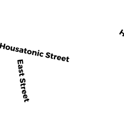
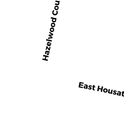
258 REAR EAST HOUSATONIC ST
Owner Information
CIMINI WILLIAM H + MABLE L
258 EAST HOUSATONIC ST
DALTON, MA 01226


Property Details
258 REAR EAST HOUSATONIC ST is classified as a Undevelopable Residential Land.
258 REAR EAST HOUSATONIC ST is valued at $4,400. The land is valued at $4,400 and the structures are valued at $0.
This property is in Zone R2. Confirm with local Zoning Board authorities to ensure there are no overlays or other easements on this property.
258 REAR EAST HOUSATONIC ST was last sold on Monday, September 13, 1982 for $0.
Assessment data from fiscal year 2021.
Flood Data
According to the FEMA National Flood Hazard Layer, this property does not appear to be in a flood zone. It may also be in an area not yet reviewed. Nonetheless, confirm this information prior to taking any action.
To view the flood hazards around this property, create a FEMA "Firmette" Map of the area around 258 REAR EAST HOUSATONIC ST.
Broadband Internet Providers
| Provider | Type | Bandwidth (mbps) | |
|---|---|---|---|
| Viasat Inc | Satellite | 35 | 3 |
| Charter Communications Inc | Fiber | 0 | 0 |
| GCI Communication Corp. | Satellite | 0 | 0 |
| HughesNet | Satellite | 25 | 3 |
| VSAT Systems, LLC. | Satellite | 2 | 1 |
| Verizon New England Inc. | DSL | 15 | 1 |
| Charter Communications Inc | Cable | 940 | 35 |
Broadband service provider data from December 2020.
Adjacent Properties
- 278 EAST HOUSATONIC ST
Single Family Residential owned by TRAPNELL ROBERT W + RUTH D - 326 EAST HOUSATONIC ST
Mixed Use (Primarily Forest, some Commercial) owned by LECLAIR TIMOTHY A - 310 EAST HOUSATONIC ST
Single Family Residential owned by MOULTON LUCAS D & KIMBERLY J - 298 EAST HOUSATONIC ST
Single Family Residential owned by ROTHERMEL ALBIN S & BERTHA L